

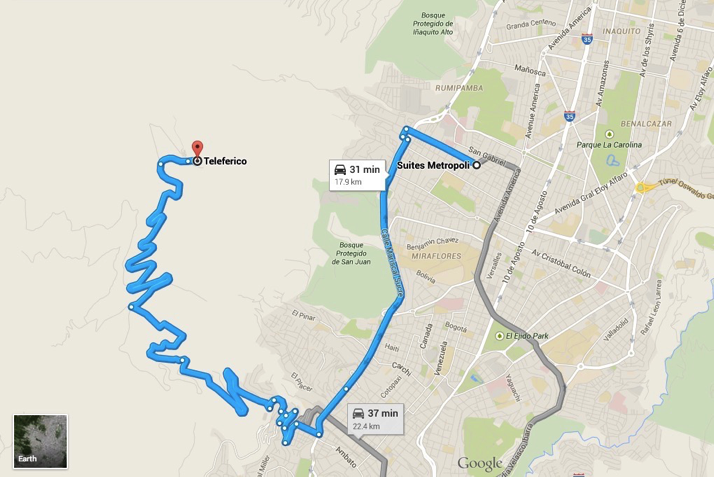
First a cab ride from my hotel to the teleferico (cable car)
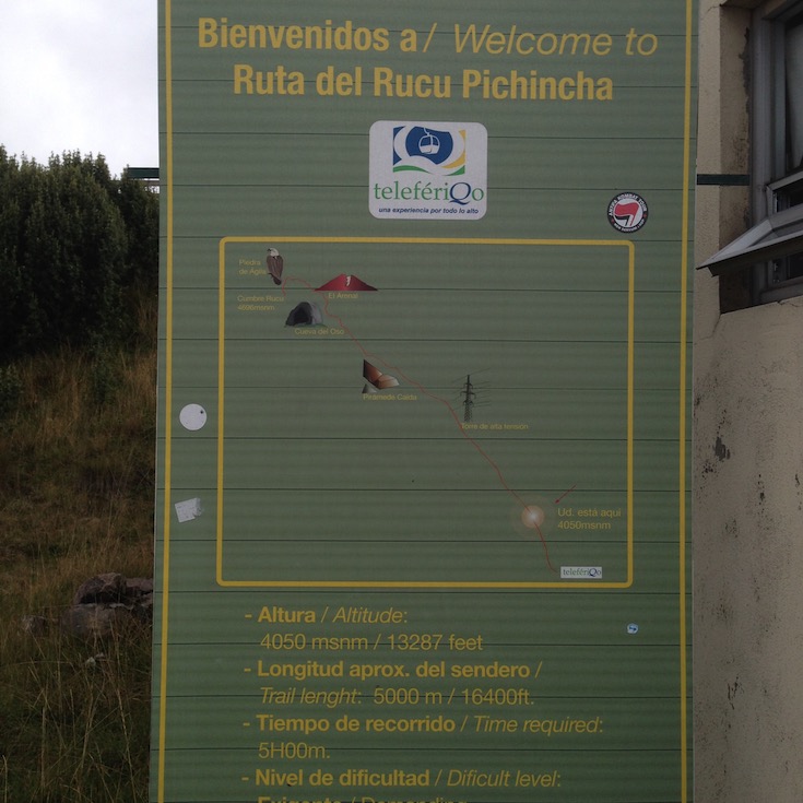
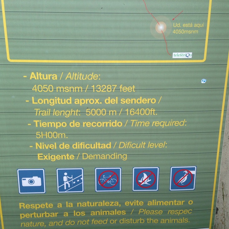
The Quito Teleferico, one of the highest aerial lifts in the world, offers visitors the best views of the capital city. Opened in 2005, this gondola rises quickly from its base of 2,900 meters (9514 feet) to 4,100 meters (13,451 feet) in about 10 minutes.
Then, it’s a three hour climb to the summit at 4,784 meters (15696 feet).
The cost for the roundtrip ride is $8.50. The taxi ride to the cable car was $5.
Now that I’ve published my plan, I have only to go execute it!
OK. I got to the summit and back down. This was NOT what I had envisioned… First, a couple of summary images. The track, from Google Earth (since I have no good maps to plot it on) and the elevation profile of the hike.
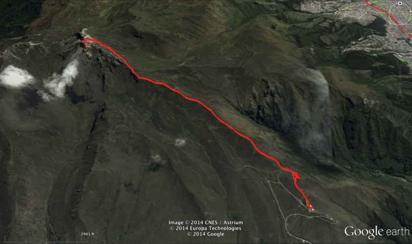
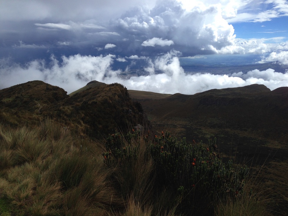
This is my track plotted on Google Earth. From the top of the cable car, in the lower right (SE) corner of this picture, I hiked generally northwest to the summit. Hiked is not an accurate appellation for the northwest third of this track. It was more of a scramble, hanging on for dear life, up, and a butt slide or ledge drop coming down, with about a half mile of scree skiing thrown in for excitement.
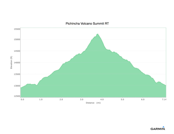
And this is the recorded elevation profile of the track from my GPS watch. 12,898 feet at the bottom, 15,228 feet at the summit. 2,601 feet of ascent, 2,502 feet of descent.
OK, now back to the beginning. I rested very well last night, after sitting in the sitting room downstairs for an hour or so chatting with a couple from Venezuela and Santiago. They told me to make sure the desk clerk told the taxi driver in the morning to drop me off where the Teleferico tickets are sold, not at the amusement park about a quarter mile, and 200’ below, the ticket office.
After another terrific breakfast, the taxi took me there. They were open early, and I got my ticket and was on the cable car at 8:27, and didn’t have to wait until 9.
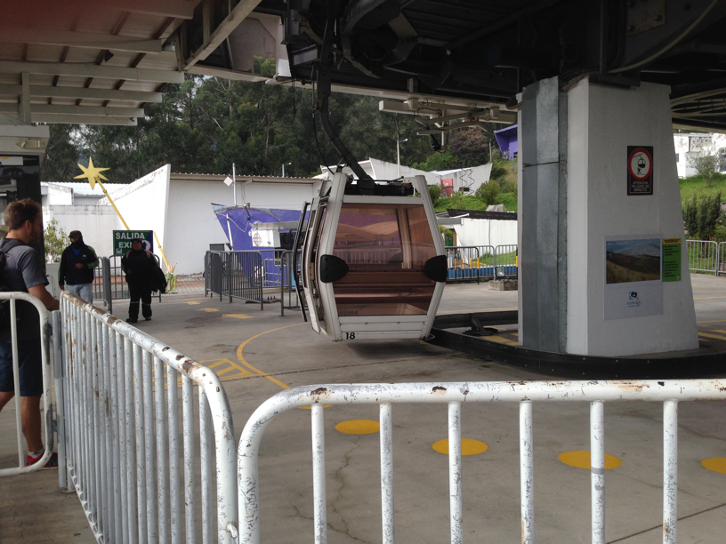
At the base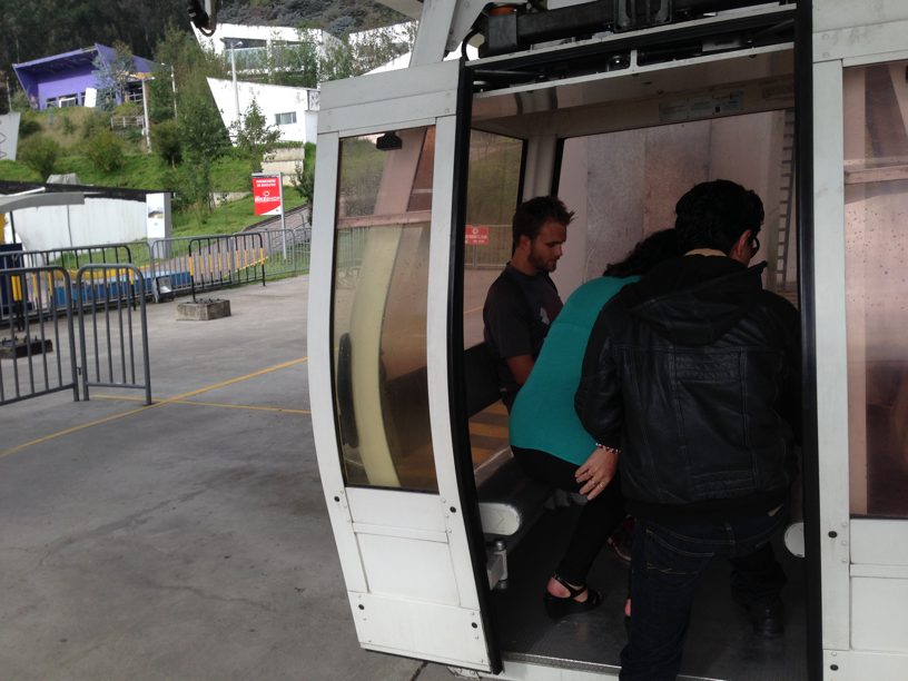
I rode up with Christian and a local couple. They spoke fluent Spanish all the way up. I caught that he was from Oregon. He’s the young fellow in the corner.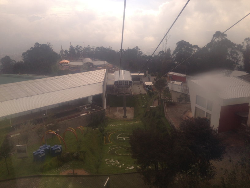
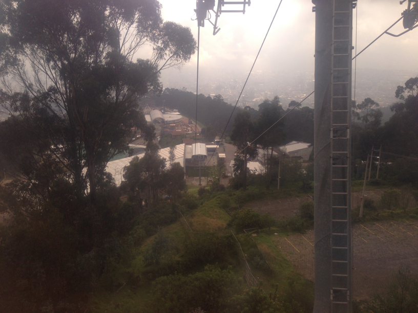
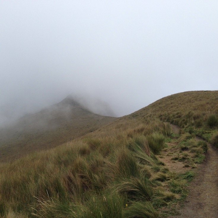
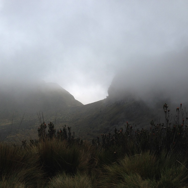
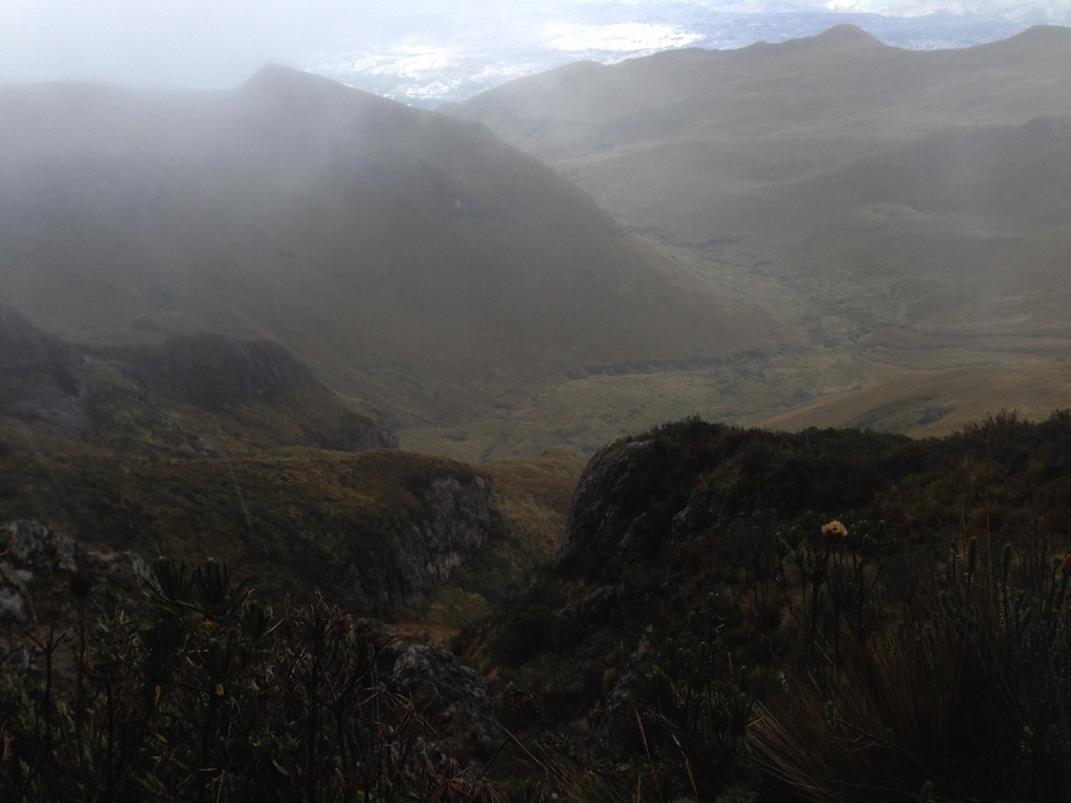
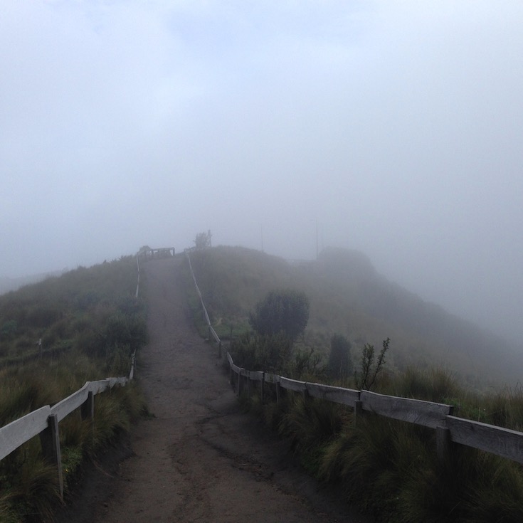
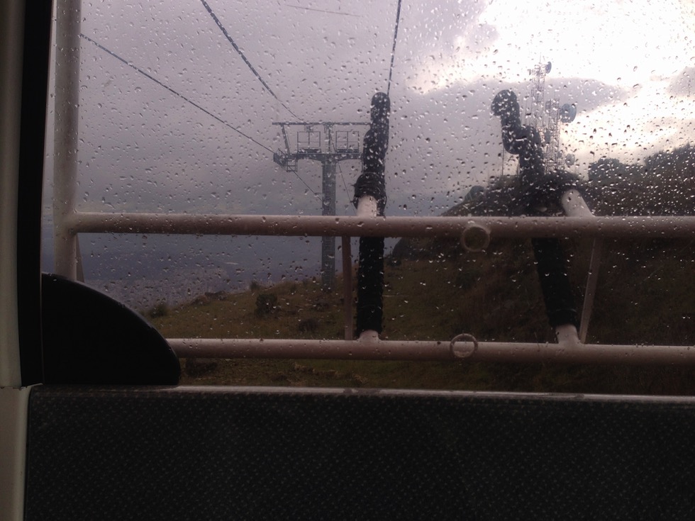
Up through the clouds.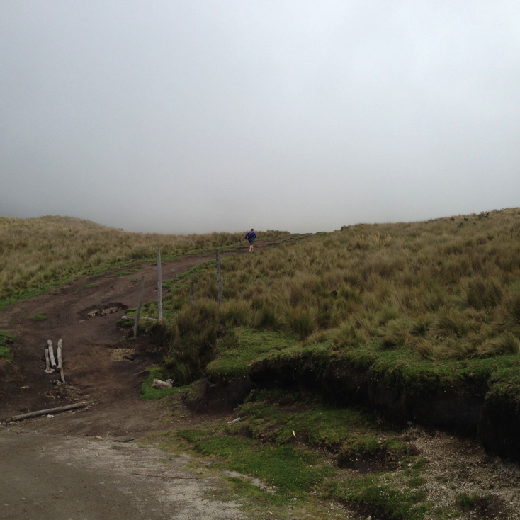
At the top Christian and I chatted for a while as we started walking. He was planning to run to the summit, smoke his traditional cigar and then descend. Off he went…
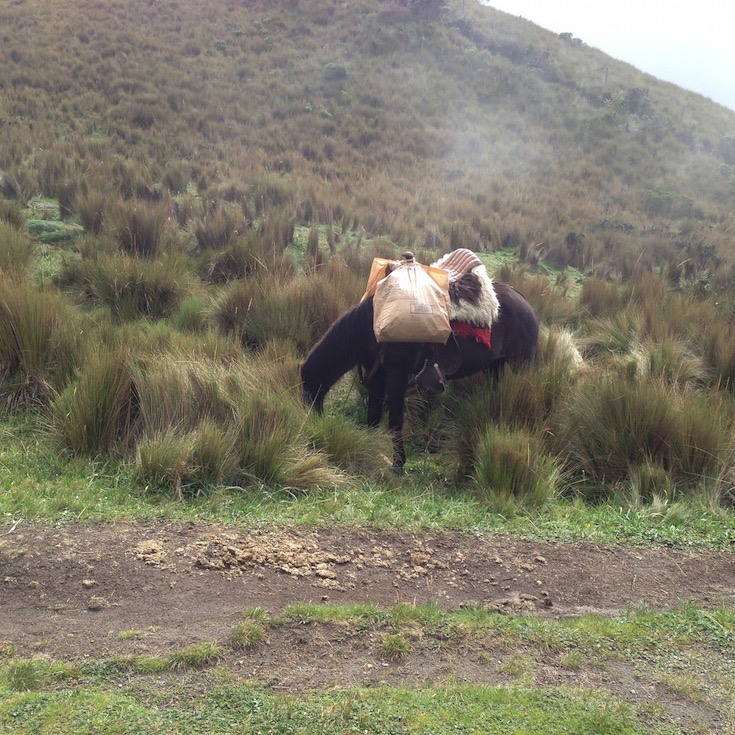
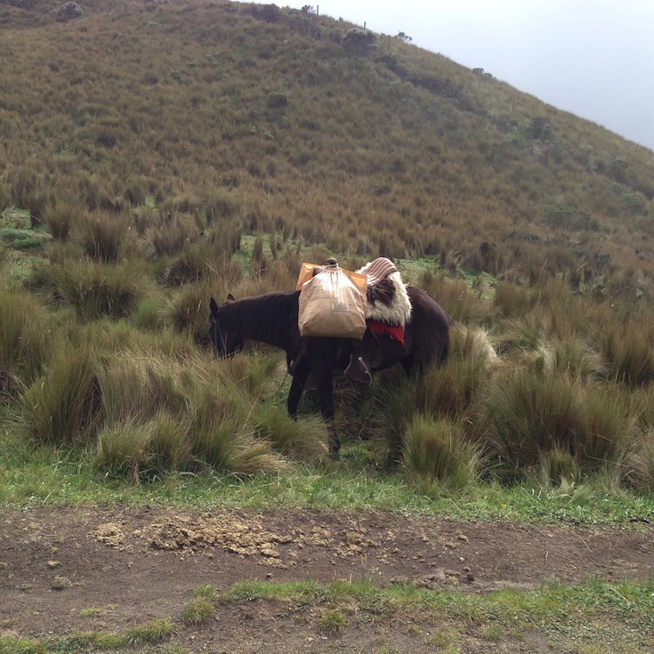
I hiked a mile loop to see how this altitude would affect me. I didn’t seem to have any symptoms of altitude sickness, so up I went. Near the start, you can rent horses.
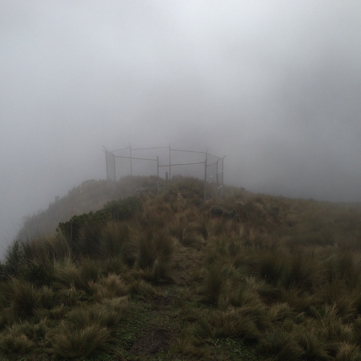
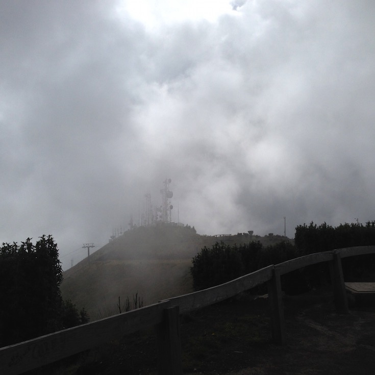
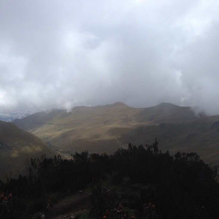
Those are the towers I can see from my hotel window, if the clouds aren’t too low.
Now is when it finally sinks into my thick skull that I am hiking to the lower of the two summits, Ruku Pichincha (Kichwa ruku old person, hispanicized Rucu Pichincha) (4,698 metres (15,413 ft)). The active caldera is in Wawa Pichincha on the western side of the mountain. My host, Santiago, had explained to me that there were 2 summits, and I had just assumed I was hiking the higher of the two. Wawa means small or child. No worries, I’ve never been this high before. More fitting, too, as I am an old person.
And they told me it was a 3 hour walk to the summit. Yeah, like a two hour cruise…
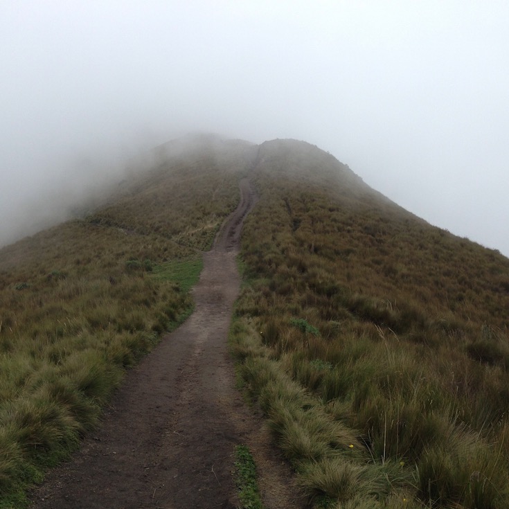
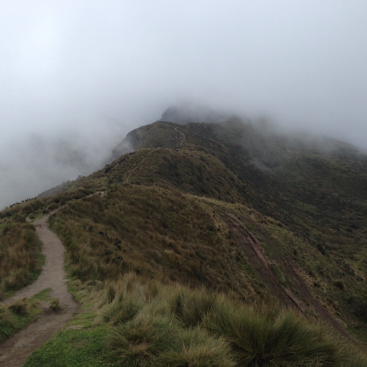
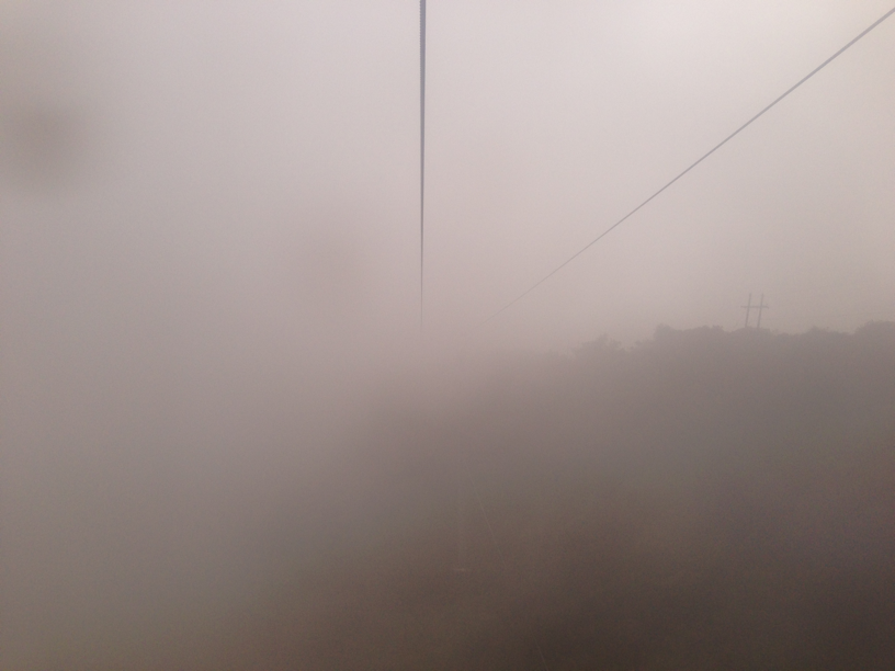
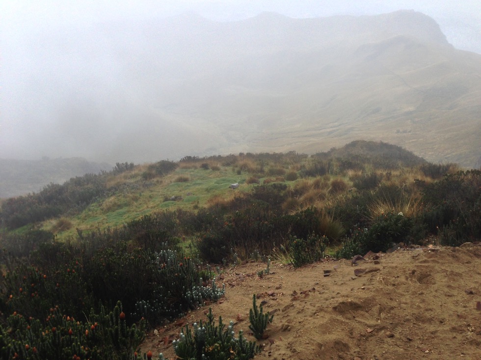
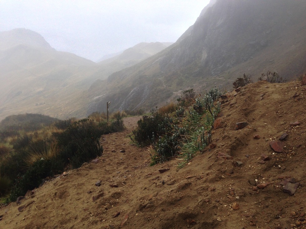
I guess the clouds would have bothered me more if I had a map and thought I knew which way the trail went. But I had forgotten to get a map at the base of the cable car, and they didn’t have any at the top.
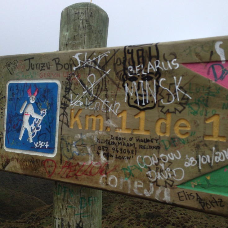
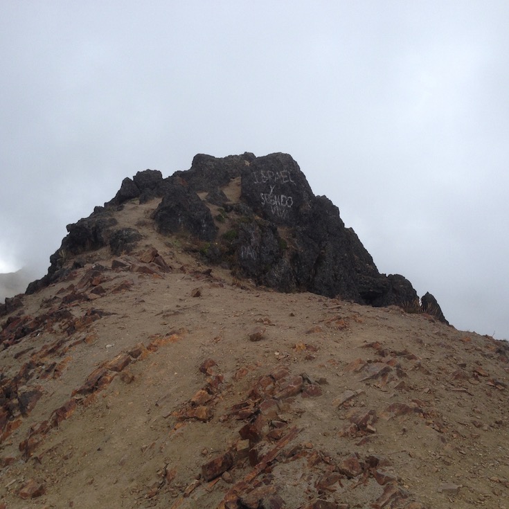
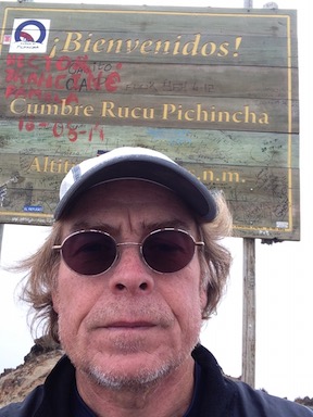
I think this sign says it’s 11 km to someplace, farther to Minsk and Belarus. And this is the source of my avatar - see me on the sign?
A couple of guys with a GoPro tripod passed me on the way up. I wonder what they were going to photograph.
A fellow from Germany caught me and we walked and talked for a while, but he couldn’t climb as slowly as I can. Poor guy. We caught a couple who had been ahead of us, and had turned around. They told us it was another 30 minutes to the summit. Unfortunately, I had left my helicopter home.
Last time I saw the German until I was near the summit.
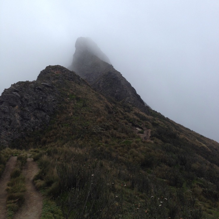
When I saw this, I couldn’t believe I had to walk underneath the side it was leaning toward.
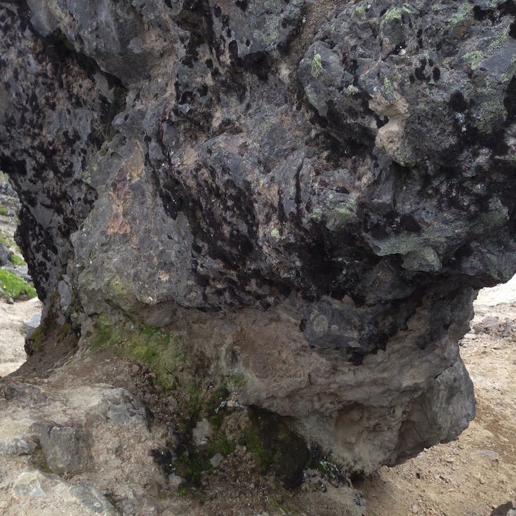
But I did…
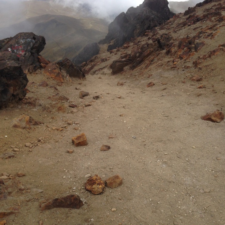
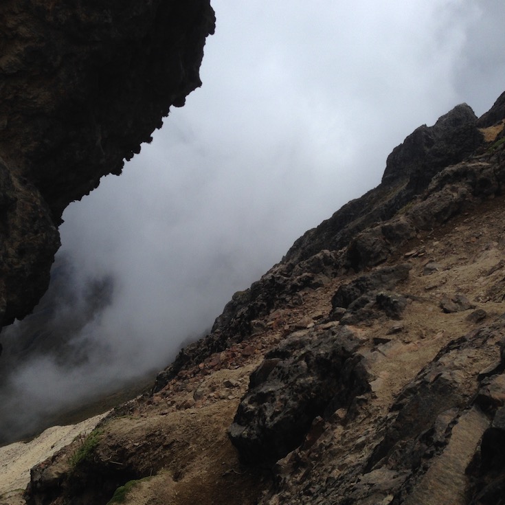
No blazes or signs, except one every kilometer. But they were for some other trail, not the trail I was on. If you could see footprints, you were on the trail that someone else had walked on before you.
I had a lot of trouble breathing. I stopped frequently to give my heart a rest, when it was pounding away at max heart rate. I remember when I owned a small airplane, and we were taught that the law said we couldn’t fly above 10,000 feet in an unpressurized cabin, without breathing pure oxygen. And when I was the pilot, I was sitting down, not climbing for all I was worth. Oh, what I would have given for a pulse oximeter !!! But there was no ambulance handy.
The last hour (or 30 minutes if you had your helicopter) was very challenging. Not the least of my concerns was my acrophobia, and wondering how in the world I would be able to get back down. No hiking poles. No skid plate (although I have been called that.) I was on my hands and knees most of the way from here. There were places where I climbed up only to find it was not the path, and had to scramble back down and try another route. I was OK as long as I could hold onto something. But as you can see, there was a lot of scree, and those rocks are just sitting in it, like on a beach. And how do you hold onto something behind you when you are descending? I had never done this kind of stuff before.
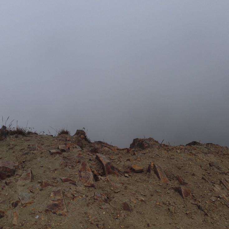
But then, the rock outcrops turned black. I knew this from my rockhound days - igneous formations. So I was on a volcano after all. I met Christian on his way back down. He had smoked half his cigar and offered me the remainder, but I declined. He was very encouraging, telling me I had only another 100 feet or so. He had missed the trail in the fog and run an extra 4 miles.
I made it!
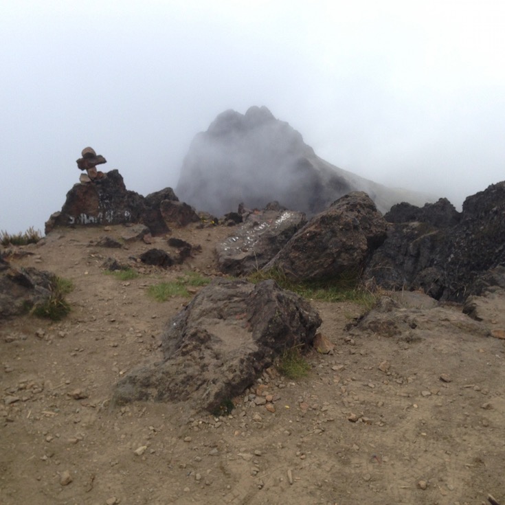
What a terrific view from the summit!!!
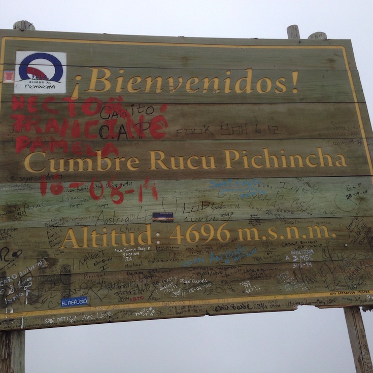
OK, 4,696 meters = 15,406 feet. My GPS unit must not have been calibrated for this atmospheric pressure. New PR!
The following photos (and lots more) were taken at the summit.
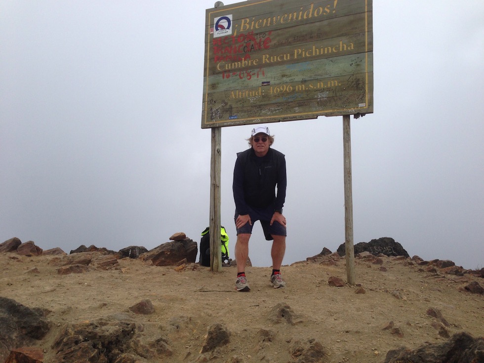
That’s me, so happy that Apple finally put a timer on the camera app.
I practiced several times, and that’s my best smile. Really.
I drank my remaining liter of water and ate a package of vanilla flavored wafers. And a couple of bananas, and then it started raining. So I got my umbrella out and used it to cover my pack while I donned my rain jacket. Of course, I knew they were having a blizzard in Tully, so I conjured up some sympathy snow:
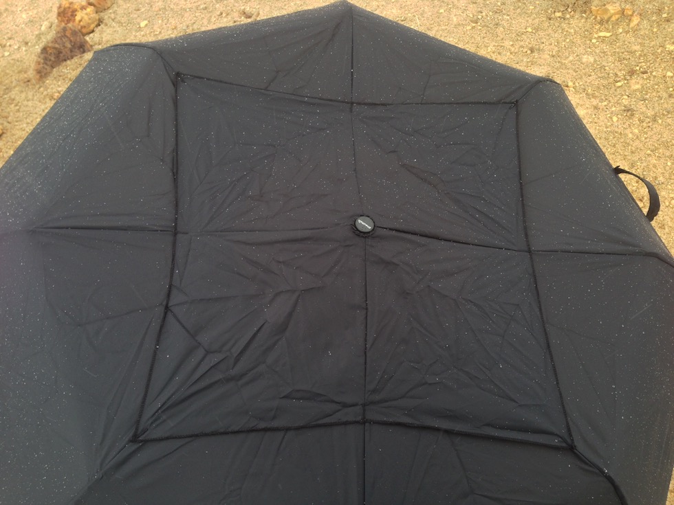
I don’t know if you can see it in this rendition, but I have a video of snow falling on this umbrella.
Well, I dilly-dallied around up there as long as I could, dreading the trip down. I knew it would be easier on the cardio-pulmonary system, but I really had no idea how I would scramble down. I could only urge myself to go slow since there was no hurry. Except, how can you not hurry when you need to be down to where you can actually walk?
Needless to say I didn’t take any photos until I was down a ways. There were places I had to back down, holding onto fixed rocks. One place, I had to dangle my feet and lower myself using hands only because it was so steep I couldn’t see any foot holds. Nothing a little mercurochrome won’t fix.
Another place I just slid in the scree - probably a quarter mile. I just kept my balance and it was like I was bumper skiing, only in sand, not snow. And no car in front of me, just a steep descent into nothing but fog.
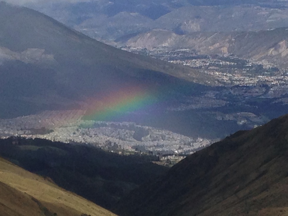
But how about this payoff picture? Not often I have my camera ready when I happen to look down on a rainbow several thousand feet below me.
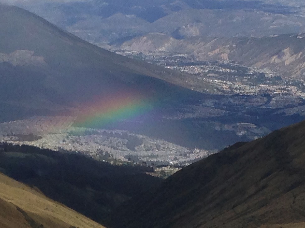
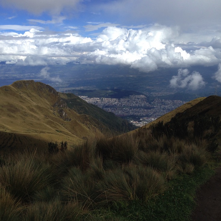
A look through the clouds to Quito, below
Halfway down the sun was so bright and warm I stopped to apply sunscreen.
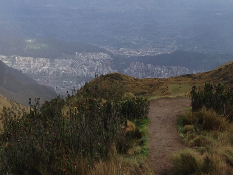
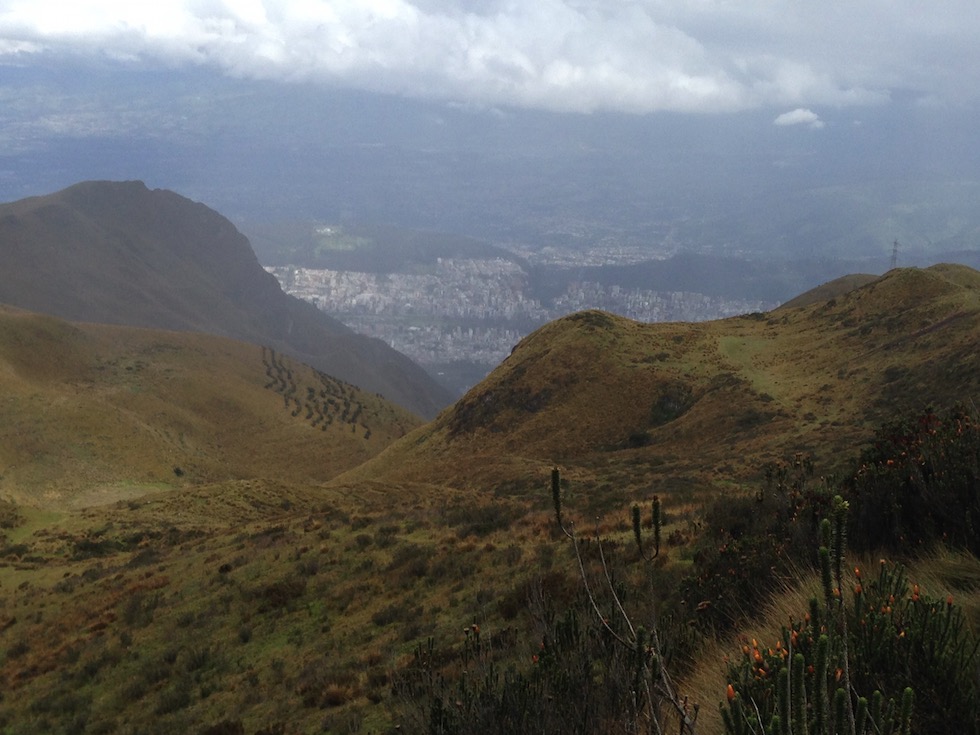
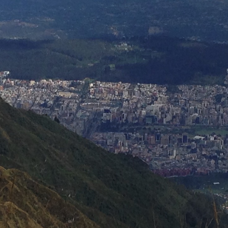
Getting closer to Quito all the time
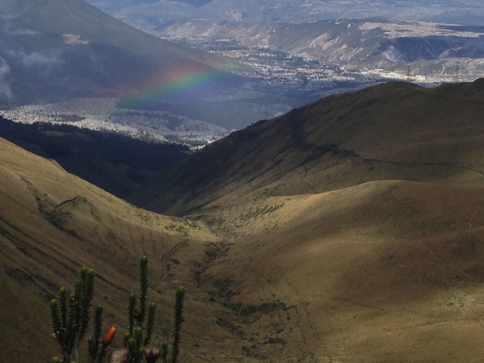
And closer to that pot of gold too.
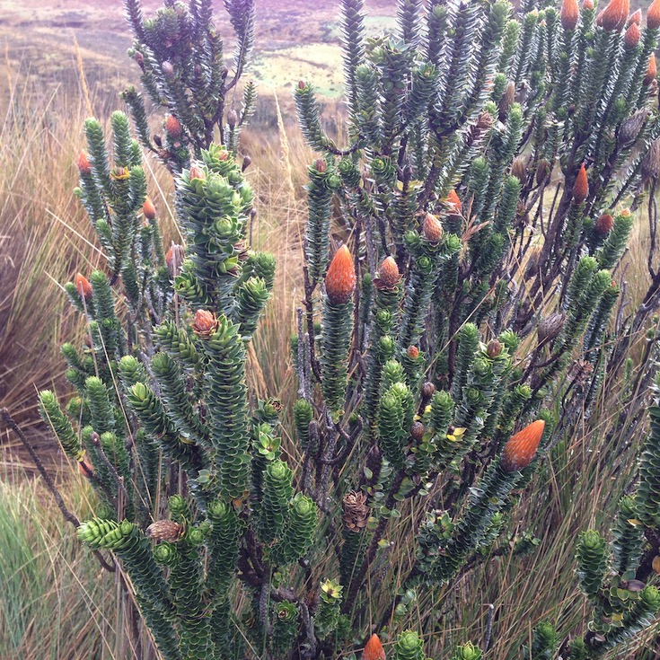
No idea what plant this is, but it thrives here and looks very succulent
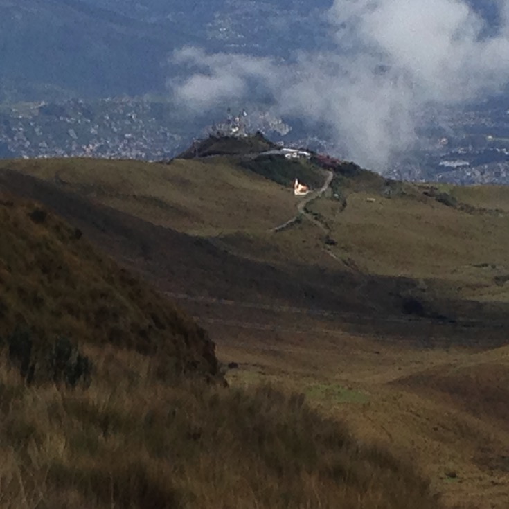
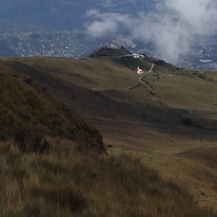
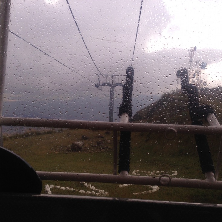
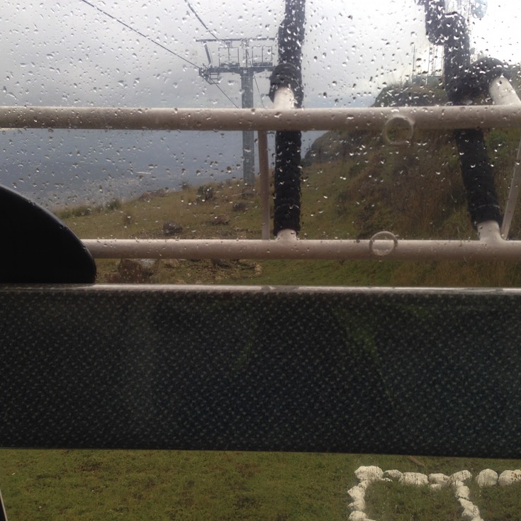
The towers near the summit of the cable car
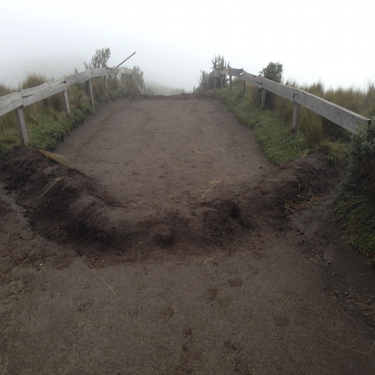
Ecuadorian water bars
Good thing I applied sun block, because when I got down, it was raining.
I took a video of the entire descent in the cable car, but the iPhone died about 30 seconds above the bottom. Fortunately, the video did get saved. Here it is:
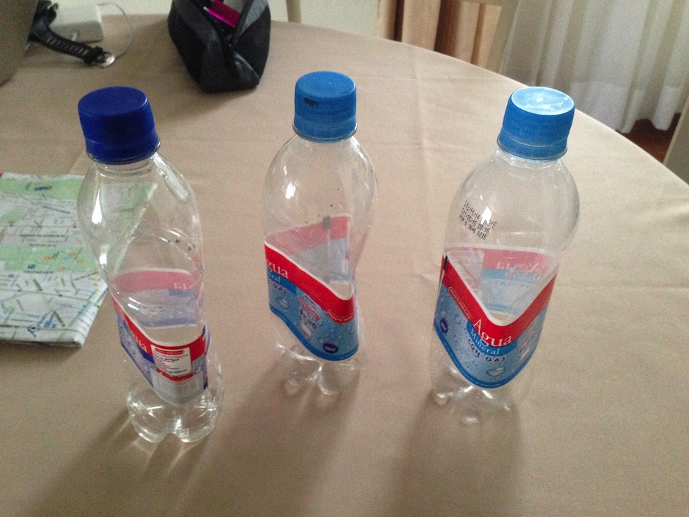
These are the water bottles I carried to the summit, drank, and sealed there. This is what they look like on my counter.
Well, this turned out be a pretty action-packed next-to-last day in Ecuador. I’ll have to have a think on more mountain climbing. I’m not so sure what I did today was a smart thing.